Please see attached submission
Volume 4: Maps
Closed18 May, 2022, 00:01 - 16 Jun, 2022, 17:01
Volume 4 - Maps
This volume contains the following maps associated with the plan. Maps contained in Volume 4 have been subject of a number of amendments which are detailed below.
Contents
1. Tralee, Killarney & Listowel Zoning Maps
4. Visually Sensitive Areas and Views & Prospects
6. Tarbert-Ballylongford Landbank
An interactive map is available for the Draft Kerry County Development Plan 2022-2028 where all these maps, including amendments, can be viewed.
1. Tralee, Killarney & Listowel Zoning Maps
Amendment Ref.: Tralee 17 (overall zoning map showing environs)
Amendment Ref.: Killarney 11 (overall zoning map showing environs)
Listowel Zoning Map - not subject to an amendment
2. Settlement Hierarchy
Settlement Hierarchy Map - not subject to an amendment
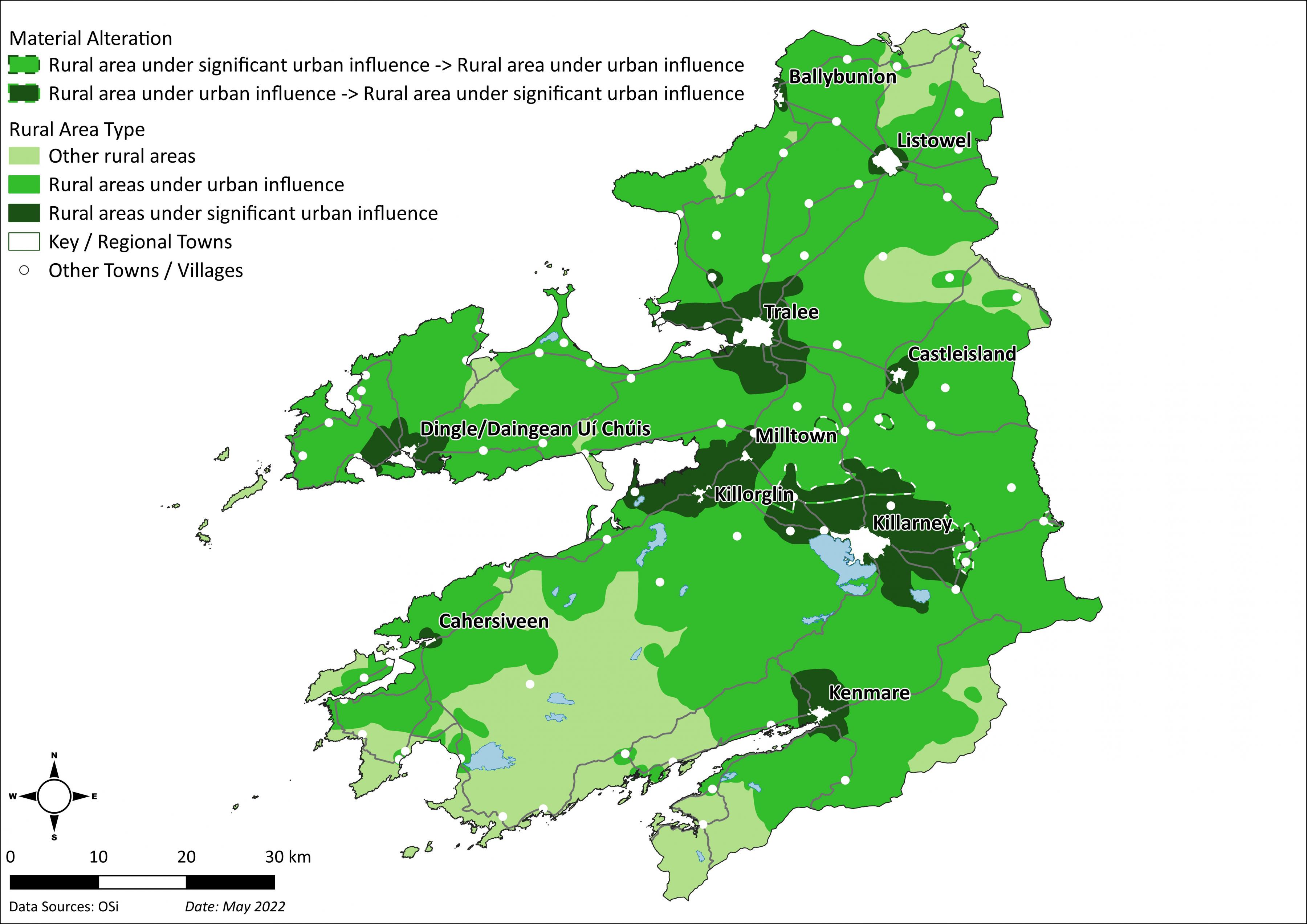
3. Rural Area Types
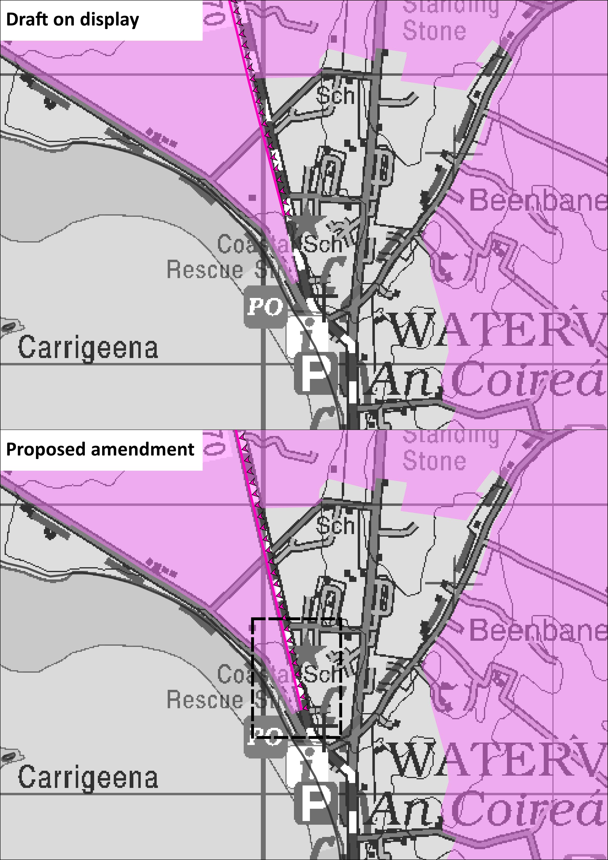
4. Visually Sensitive Areas and Views & Prospects
Amendment Ref.: VSA and V&P 1 (Waterville)
5. Wind Zoning
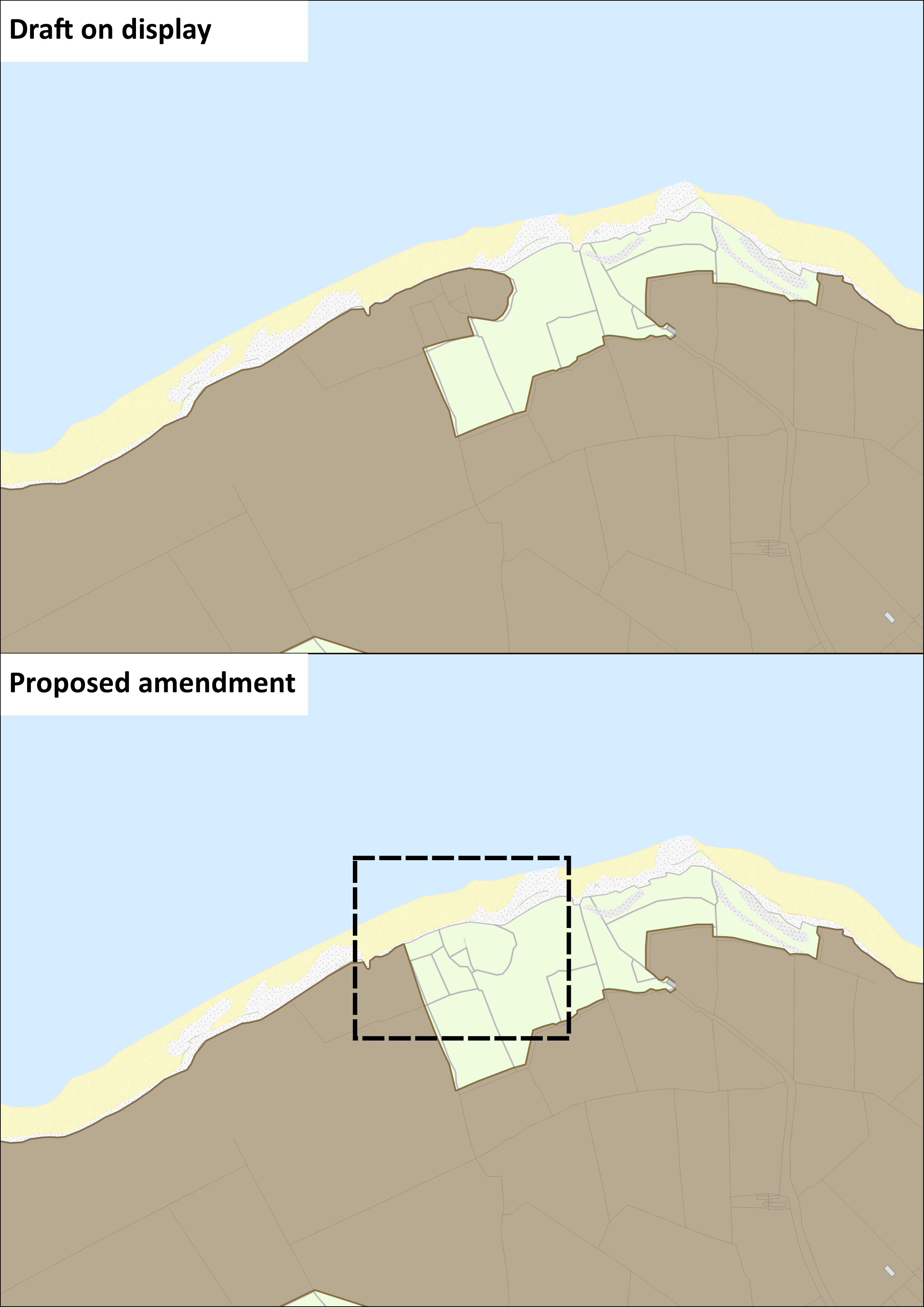
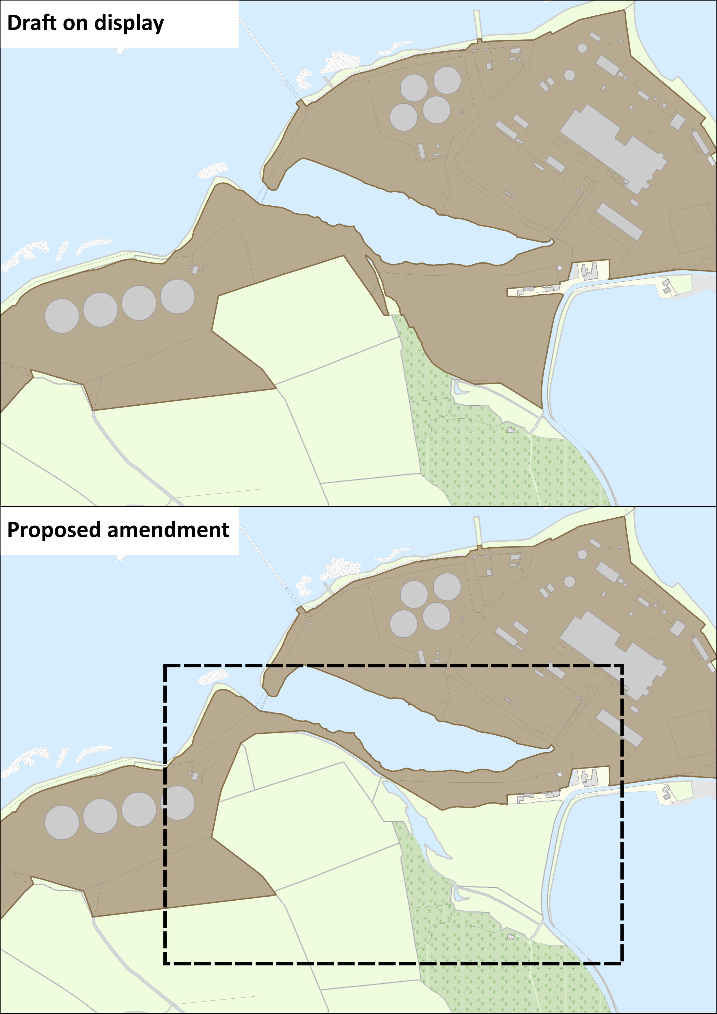
6. Tarbert-Ballylongford Landbank
Amendment Ref.: T-B Landbank 1
Contents
References
Observations
Observations
Ammendment Ref 12.9
Scartaglin Wind Awareness Group welcomes and appreciates Ammendment Ref 12.9, the removal of Scartaglin regions from Open to Consideration for possible Wind Energy...
NEWKD wish to make a submission on the Amendments Report to the Draft County Development Plan, in particular the "Economic Drivers" map on page 10.
NEWKD produced The North Kerry Socio...