The submission proposes a new framework masterplan for Cloone More ,Tralee
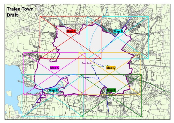
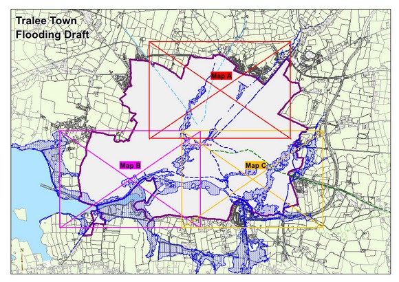
1.12 Land Use Zoning, Zoning Maps and Flood Maps
Closed6 Dec, 2021, 00:01 - 23 Feb, 2022, 17:01
1.12 Land Use Zoning
This plan uses the My-plan classification for categorising land zones and full details are contained in Volume 6. The map legend pertaining to all Tralee maps is below.
For further details regarding land use zonings, it is recommended to use the online Map browser system at https://tinyurl.com/kerrycdp
Zoning Maps
Flood Maps
Contents
Observations
Observations
Please refer to the attached submission
The forthcoming Kerry County Development Plan 2022-2028 should be the first consolidated Plan for the entire functional area of Kerry...