Zoning of lands at Model Farm, Clieveragh and Curraghtoosane, Listowel.
3.12 Land Use Zoning
Closed6 Dec, 2021, 00:01 - 23 Feb, 2022, 17:01
3.12 Land Use Zoning
This plan uses the My-plan classification for categorising land zones and full details are contained in Volume 6. The map legend pertaining to all Listowel maps is below.
|
Land Use Zoning Objective It is an objective of the Council to: |
|
|
LIS 97 |
It is an objective of the council to ensure that a 15m buffer area is maintained free from development to the north of the woodland located within the Lower River Shannon, as shown on the land use zoning map. This buffer area may be incorporated within an active or passive open space area associated with a proposed residential development. |
For further details regarding land use zonings, it is recommended to use the online Map browser system at https://tinyurl.com/kerrycdp
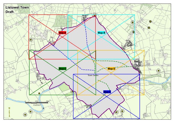
Zoning Maps
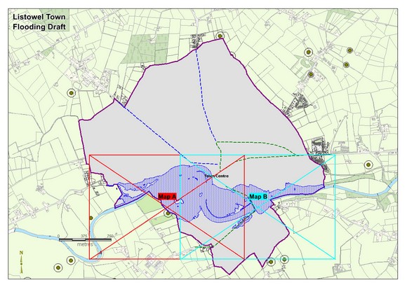
Flood Maps
Contents
Observations
Observations
Lands to be rezoned from agriculture to residential use - at Dromin Upper, Listowel